Injured Animals and Habitat
Unfortunately, birds, fish, wildlife, and their habitats often suffer from the effects of human activity. See some graphic examples of these injuries, which can be caused by sources as varied as abandoned fishing gear, spilled oil, and past industrial facilities. OR&R works to measure these damages and protect and restore NOAA trust natural resources.
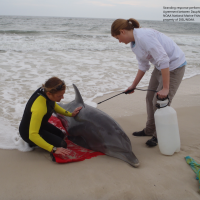
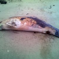
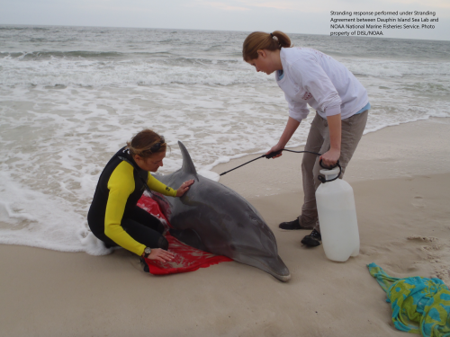
Stranded dolphin
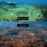
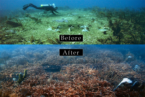
Coral restoration at the T/V Margara ship grounding site
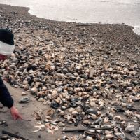
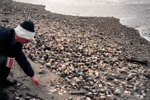
Dead shellfish after oil spill
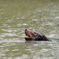
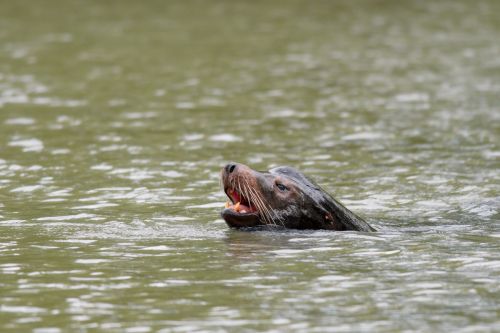
Sea lion at the Portland Harbor Superfund
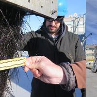
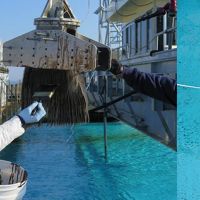
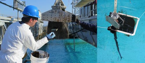
Baleen experiment close-up
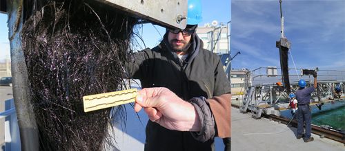
Baleen experiment
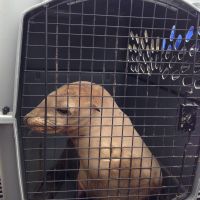
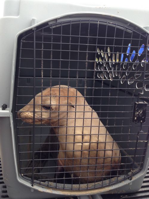
Sea lion pup rescued from Refugio oil spill
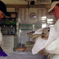
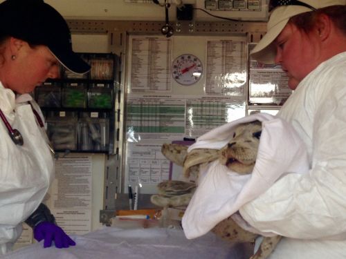
Harbor seal pup rescued at Refugio Beach oil spill
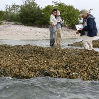
Oyster reef restoration
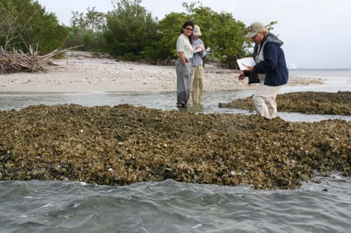
Natural resource co-trustees monitor the progress of an oyster reef restoration pilot study to compensate for environmental injuries from the Mulberry hazardous waste release in Polk County, Florida.
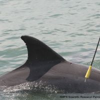
([field_image_credit])Dolphin biopsy after DWH oil spill
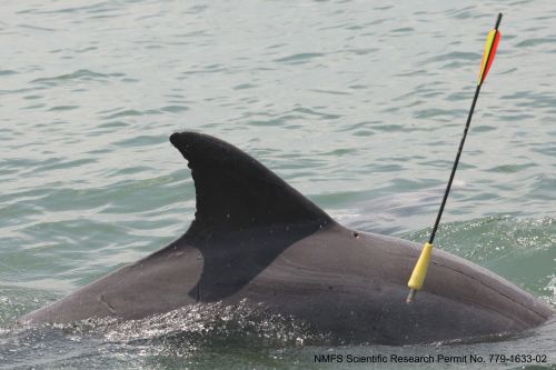
A remote biopsy sample is collected from a bottlenose dolphin as part of investigations after the Deepwater Horizon oil spill in the Gulf of Mexico.
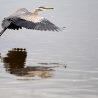
([field_image_credit])Lower Duwamish River heron
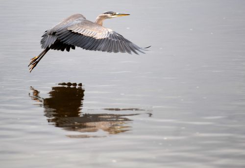
Wildlife like this grey heron make the lower Duwamish River their home. EPA added about five miles of the waterway to its list of Superfund cleanup sites in 2001. Sediments (mud and sand on the river bottom) in and along the waterway contain a wide range of contaminants from years of industrial activity and from stormwater.
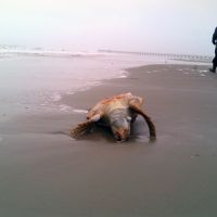
([field_image_credit])Turtle - Texas City Y Oil Spill
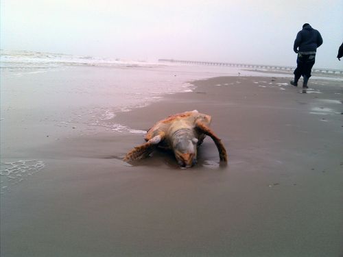
A Kirby tank barge was struck by a deep draft vessel (the Summer Wind) just east of the Texas City Dike at the intersection of the Texas City Ship Channel with the Houston Ship Channel, resulting in an oil spill. Pictured here, an oiled dead turtle.
([field_image_credit])Dolphin - Texas City Y spill
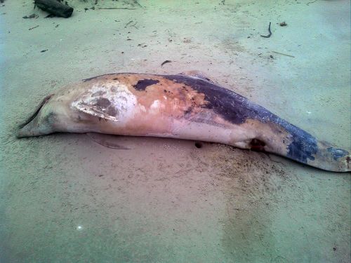
A Kirby tank barge was struck by a deep draft vessel (the Summer Wind) just east of the Texas City Dike at the intersection of the Texas City Ship Channel with the Houston Ship Channel, resulting in an oil spill. Pictured here, an oiled dolphin.
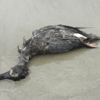
([field_image_credit])Bird - Texas City Y Oil Spill
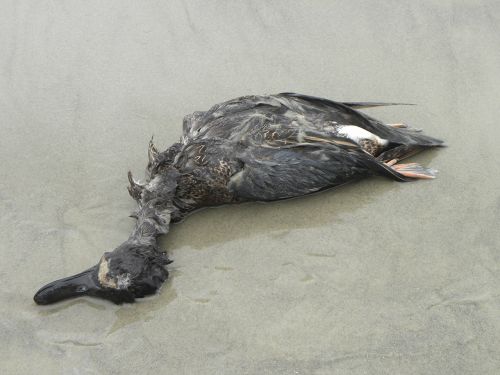
A Kirby tank barge was struck by a deep draft vessel (the Summer Wind) just east of the Texas City Dike at the intersection of the Texas City Ship Channel with the Houston Ship Channel, resulting in an oil spill. Pictured here, an oiled dead bird.
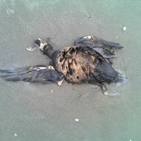
([field_image_credit])Bird - Texas City Y Oil Spill
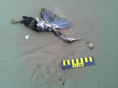
A Kirby tank barge was struck by a deep draft vessel (the Summer Wind) just east of the Texas City Dike at the intersection of the Texas City Ship Channel with the Houston Ship Channel, resulting in an oil spill. Pictured here, an oiled bird.
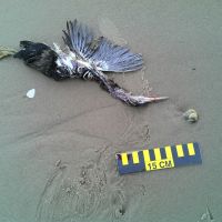
([field_image_credit])Texas City Y Oil Spill, Texas
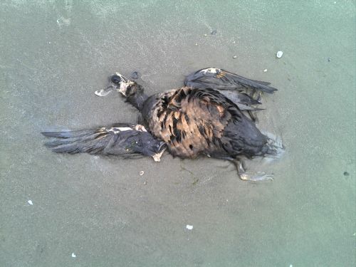
A Kirby tank barge was struck by a deep draft vessel (the Summer Wind) just east of the Texas City Dike at the intersection of the Texas City Ship Channel with the Houston Ship Channel, resulting in an oil spill. Pictured here, an oiled bird.
([field_image_credit])Beaver Creek Gasoline Spill
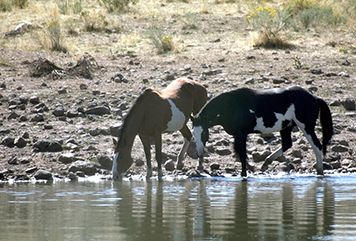
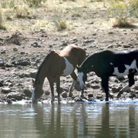
An American Transport, Inc. tanker truck jackknifed on State Route 26. The truck spilled 5,388 gallons of unleaded gasoline onto the reservation of the Confederated Tribes of the Warm Springs Reservation of Oregon. Most of the spilled fuel flowed overland into Beaver Butte Creek just above its confluence with Beaver Creek, a tributary to the Warm Springs River. Shown here, horses drinking from the stream.
([field_image_credit])Beaver Creek Gasoline Spill
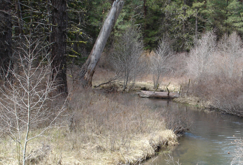
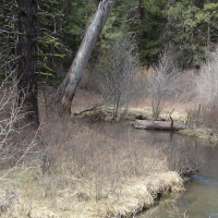
An American Transport, Inc. tanker truck jackknifed on State Route 26. The truck spilled 5,388 gallons of unleaded gasoline onto the reservation of the Confederated Tribes of the Warm Springs Reservation of Oregon. Most of the spilled fuel flowed overland into Beaver Butte Creek just above its confluence with Beaver Creek, a tributary to the Warm Springs River.
([field_image_credit])M/V Casitas, Hawaii
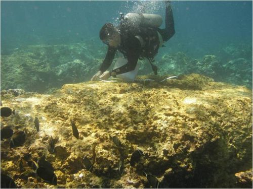
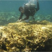
M/V Casitas ran aground in the Northwest Hawaiian Islands potentially damaging the sea floor and spilling oil. Here, damage to coral is assessed.
([field_image_credit])Dixon Bay Oil Spill, Louisiana
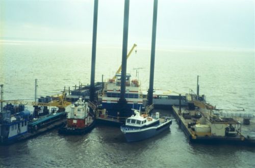
When a wellhead on an inactive well failed, it spilled a mixture of crude oil and natural gas into Dixon Bay.
([field_image_credit])Coal coming ashore on the Chesapeake Bay
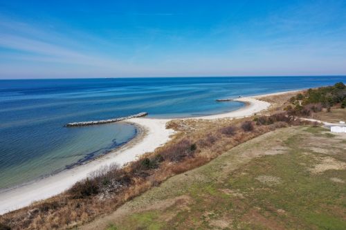
Coal coming ashore on the Chesapeake Bay
([field_image_credit])Montrose Settlement RestorationPprogram in Los Angeles
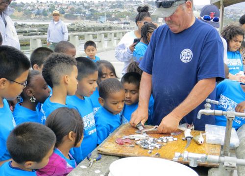
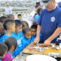
From the late 1940s to the early 1970s, factories, including one owned by the Montrose Chemical Corporation DDT and PCBs through ocean outfall pipes onto the Palos Verdes Shelf off of southern California. Following a natural resource damages settlement in 2000, NOAA’s Montrose Settlements Restoration Program (MSRP) was developed to restore wildlife, fishing, and fish habitat that were harmed in the southern California marine environment. Here, staff from the City of Los Angeles show kids how to properly fillet a fish to reduce their intake of contaminants.
([field_image_credit])American Cyanamid site in New Jersey
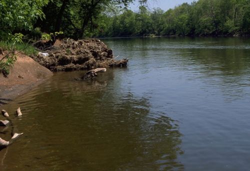
For many years, the 575 acre site located along the Raritan River in Bridgewater Township, New Jersey, was used by the American Cyanamid Company for chemical manufacturing and coal tar distillation. Chemical wastes released during manufacturing harmed natural resources in sediments and surface waters of the river and its tributaries. The facility was designated a Superfund site in 1983 due to contamination by a variety of toxic substances including mercury, chromium, arsenic, lead, and PCBs. The area affected by the contamination provides habitat for a variety of migratory fish, and birds.
([field_image_credit])Raritan Bay Slag Superfund site
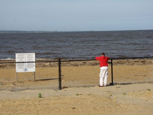
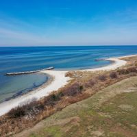
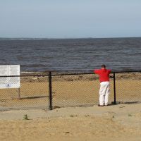
Some of the beach front at Old Bridge Waterfront Park in Laurence Harbor, New Jersey at the Raritan Bay Slag Superfund Site is closed to fishing, swimming and sunbathing due to lead contamination leaching from metal slag used in the construction of a seawall and to fortify a navigational jetty.
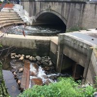
([field_image_credit])Industriplex Superfund site on the Aberjona River
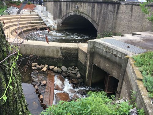
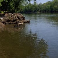
NOAA provided technical assistance to EPA in the assessment of watershed contamination and selection of remedial options for the Aberjona River for close to 30 years. The mitigation work included a fish ladder on the Aberjona River at the Central Falls dam in Winchester, Massachusetts, wetland restoration along the river, and the Aberjona Nature Trail in Woburn. Entrance to the ladder is on the far side of the river.
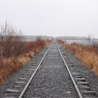
([field_image_credit])U.S. Steel site in Duluth
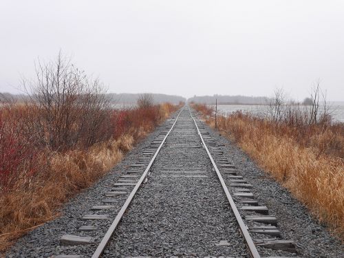
Railroad causeway that crosses Mud Lake, which is located directly upstream of the U.S. Steel site in Duluth, Minnesota. The area was used for industrial purposes since 1890.
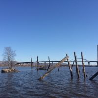
([field_image_credit])Grassy Point site on the St.Louis River
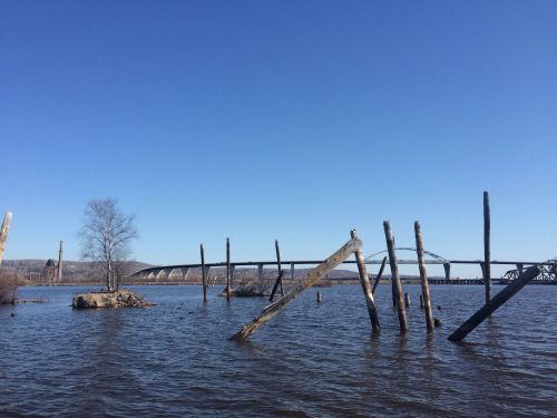
The Grassy Point site was identified by the St. Louis River Area of Concern (AOC), as an area within the Great Lakes Basin that shows severe environmental degradation as identified by the EPA and Environment Canada under the Great Lakes Water Quality Agreement. The project, which will move the estuary towards recovery, is a partnership between NOAA and the states of Minnesota and Wisconsin.
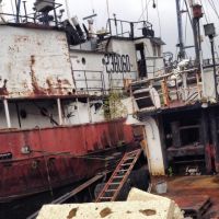
([field_image_credit])Abandoned ship in Seattle
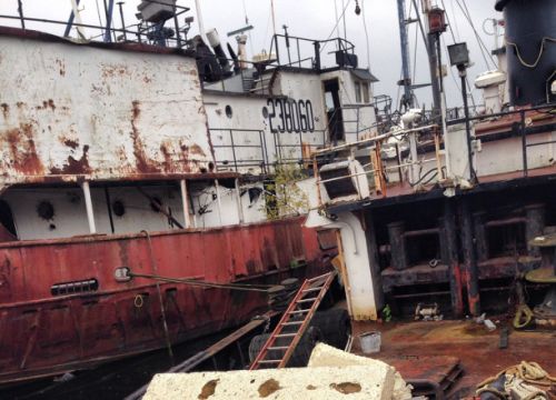
Abandoned and derelict ships are a highly visible problem in almost every U.S. port and waterway. To the left is the T/V Vigorous, an abandoned tugboat in Seattle, Washington in 2015. These neglected ships often pose significant threats to fish, wildlife, and nearby habitat, in addition to becoming eyesores and hazards to navigation.
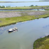
([field_image_credit])Abandoned boat in a Florida marsh
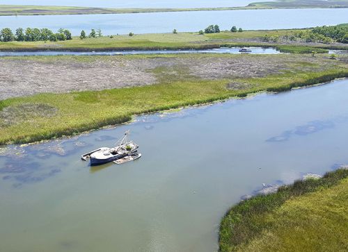
Abandoned vessels like these often still have oils and other hazardous materials on board, which can leak into the surrounding waters, posing a threat to public and environmental health and safety. Here a vessel in Scipio Creek, within the Apalachicola National Estuarine Research Reserve.
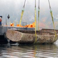
([field_image_credit])Removing a sunken vessel from Hylebos Waterway, Washington
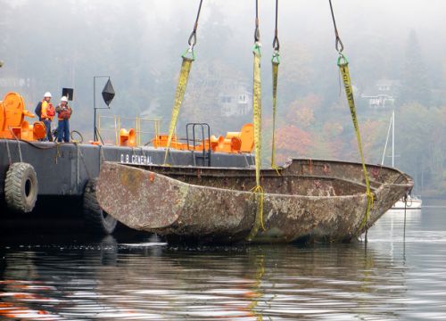
Clearing a derelict vessel from the Hylebos Waterway in Tacoma, Washington. NOAA has created several tools and resources for mapping, tracking, and dealing with shipwrecks and abandoned vessels.
([field_image_credit])Dead fish following molasses spill in Honolulu Harbor, Hawaii
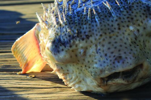
On Tuesday, September 10, the Office of Response and Restoration Emergency Response Division provided support to the Hawaii Department of Health in response to a large molasses spill in Honolulu Harbor, Hawaii. The Matson Shipping Company reported losing approximately 1,400 tons of molasses the evening of Sunday, September 8. On Monday and Tuesday an extensive subsurface brown plume was observed extending from the Matson Pier on the Sand Island side of Honolulu Harbor westward into Ke’ehi Lagoon almost to the Reef Runway. Fish and other marine life were found dead in the affected area, and fish were observed gasping for air.
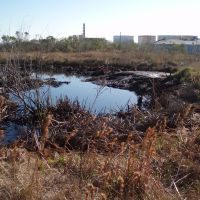
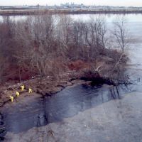
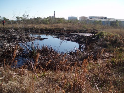
([field_image_credit])Oil pits left over from chemical and oil processing in Texas City, Texas from 1964 to 1996.
Dead fish following molasses spill at Ke'ehi Lagoon in Honolulu Harbor, Hawaii
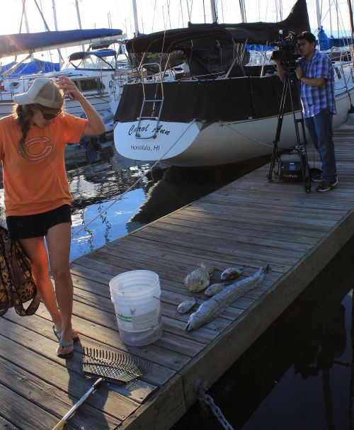
On Tuesday, September 10, the Office of Response and Restoration Emergency Response Division provided support to the Hawaii Department of Health in response to a large molasses spill in Honolulu Harbor, Hawaii. The Matson Shipping Company reported losing approximately 1,400 tons of molasses the evening of Sunday, September 8. On Monday and Tuesday an extensive subsurface brown plume was observed extending from the Matson Pier on the Sand Island side of Honolulu Harbor westward into Ke’ehi Lagoon almost to the Reef Runway. Fish and other marine life were found dead in the affected area, and fish were observed gasping for air.
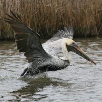
([field_image_credit])Pelican Escaping Oiled Waters
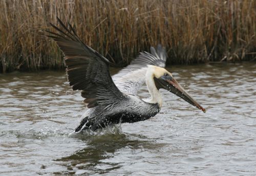
Pelican escaping oiled waters after the tank ship Eagle Otome spill in January of 2010. (NOAA)
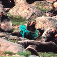
([field_image_credit])Furseals Entrapped by Debris
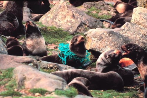
As seen in this photo of furseals taken in 2007, entanglement is one of the harmful effects of marine debris. (NOAA MDP)
([field_image_credit])Aftermath of Olympic Pipeline Explosion
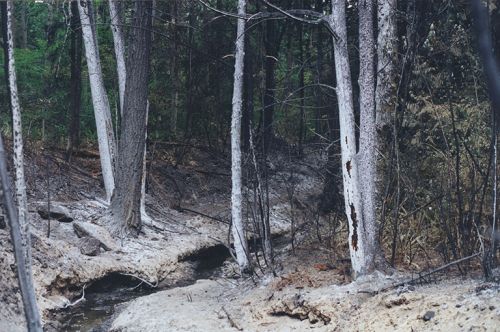
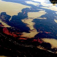
Cleanup of Oil in the Mississippi River
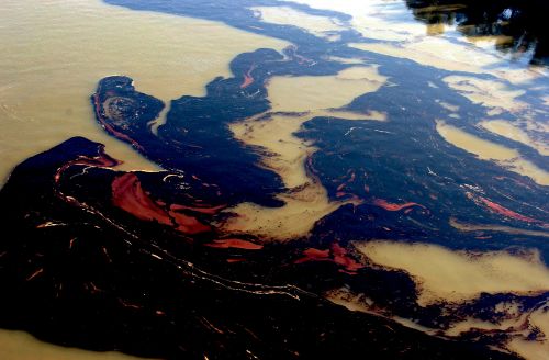
Oil floating in the Mississippi following the M/V Westchester spill on November 28, 2000. (NOAA)
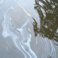
([field_image_credit])Oil in the Kalamazoo River
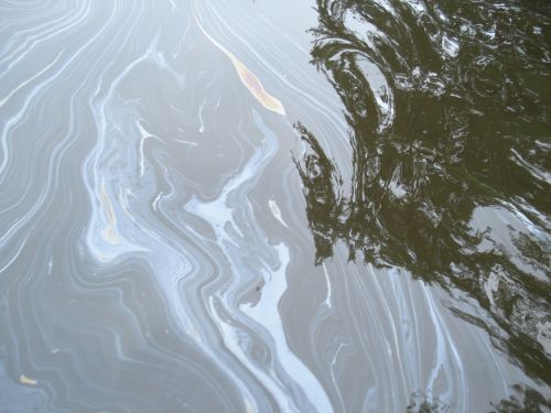
Oil spilled into the Kalamazoo River in Michigan in July of 2010. (NOAA)
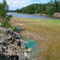
([field_image_credit])Copper at the Callahan Mine Superfund Site
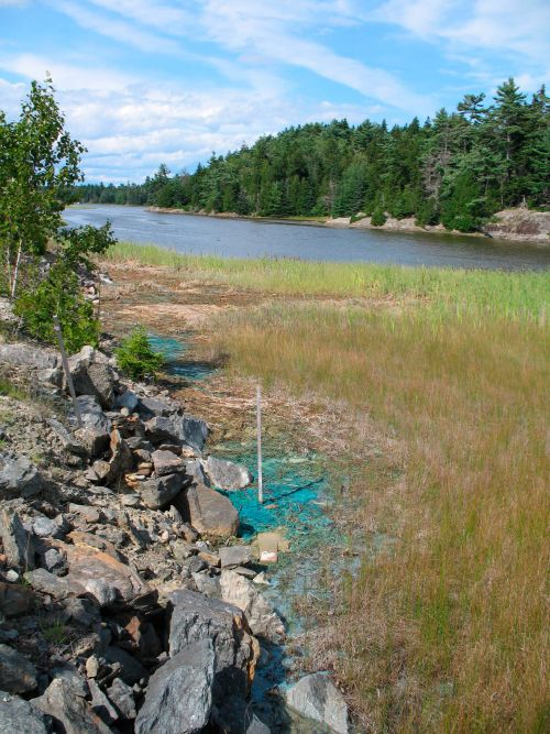
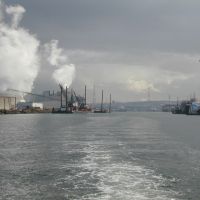
Industrial Pollution in the Duwamish River
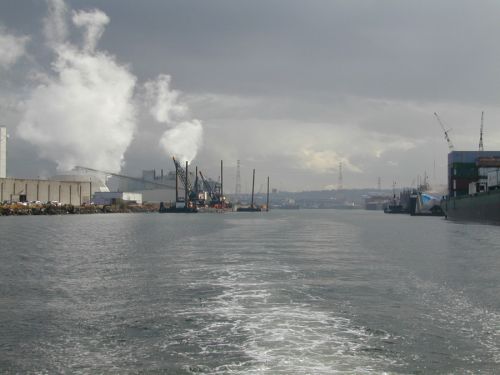
As a result of industrial activities along the Duwamish River in Seattle, Washington, NOAA is evaluating possible injuries to the benthic community including flatfish and salmon. (NOAA)
([field_image_credit])Oil on the Banks of the Delaware River
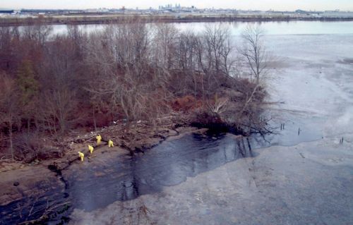
The shore of the Delaware River (near Philadelphia) was oiled when the M/V Athos I struck an obstacle and ruptured on November 27, 2004.
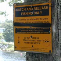
([field_image_credit])Warning Sign In New York
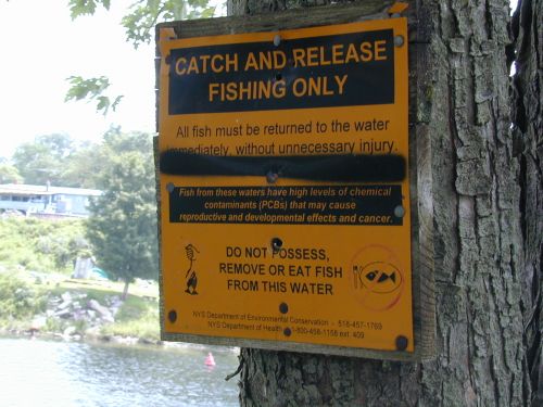
A sign posted near a river in New York warns fishers that the fish there could potentially be tainted with harmful polychlorinated biphenyls (PCBs). (NOAA)
([field_image_credit]) An official website of the United States government.
