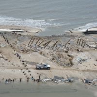
Hurricane Response
Hurricanes can cause extensive damage when they strike coastal areas, and OR&R’s focus is on pollution from oil and chemicals that may be released into the environment during such a weather event. OR&R also assesses and coordinates the removal of marine debris which may include vessels that block vital waterways, as well as other derelict vessels in and around coastal areas. This image collection includes recent photos from hurricanes Harvey, Irma, and Maria, as well as those from hurricanes Katrina/Rita, Isaac, and Sandy.
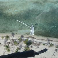
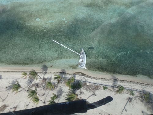
Vessel aground near a beach
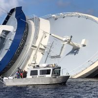
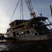
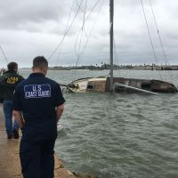
Hurricane Michael - survey boat
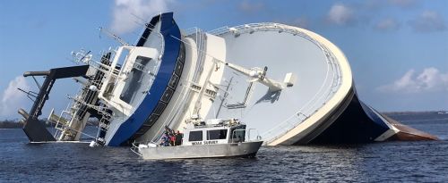
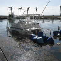
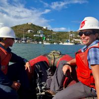
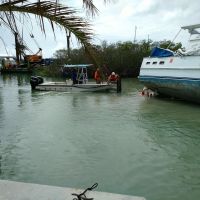
NOAA survey vessel near a sinking vessel following Hurricane Michael in October 2018.
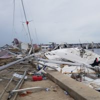
([field_image_credit])Hurricane Michael - marina in Panama City
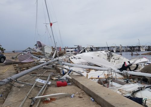
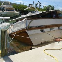
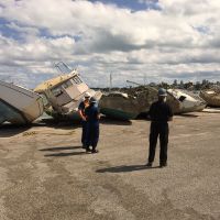
Wrecked boats at a marina in Panama City, Florida following Hurricane Michael in October 2018.
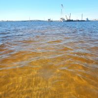
([field_image_credit])Hurricane Michael - sea grass assessment
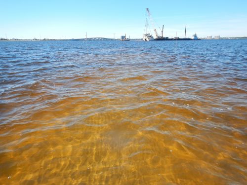
Assessment of impact to sea grass following the removal of the M/V El Dorado following Hurricane Michael in October 2018.
([field_image_credit])Hurricane Michael - vessel removal
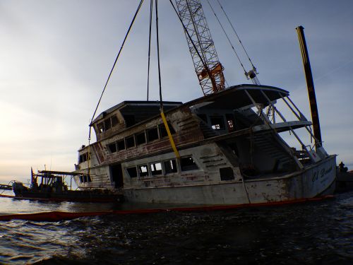
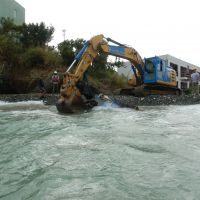
Removal of the M/V El Dorado from the Gulf coast of Florida following Hurricane Michael in October 2018.
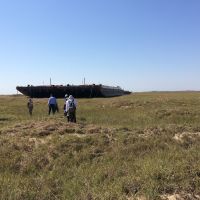
([field_image_credit])Harvey (2017 - San Jose Island
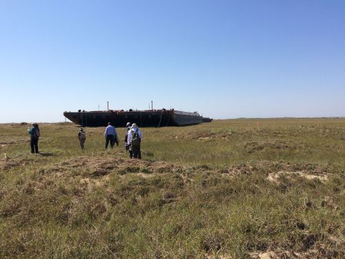
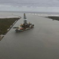
San Jose Island, Texas project to remove grounded tugs and barges in the wake of Hurricane Harvey in September 2017.
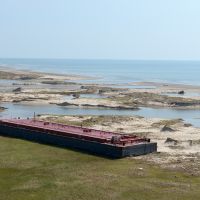
([field_image_credit])Harvey (2017 - Barge, Corpus Christi
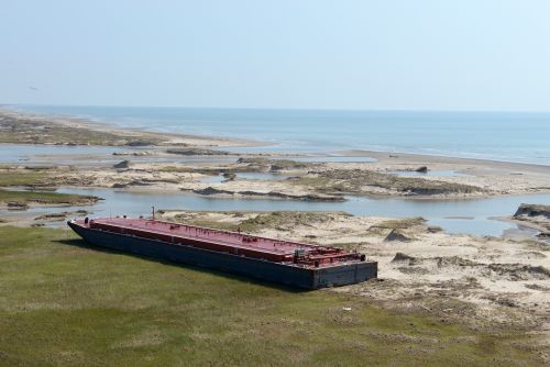
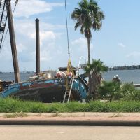
A barge aground near Corpus Christi after Hurricane Harvey in August 2017.
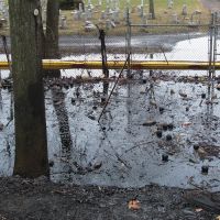
([field_image_credit])Sandy (2012) Oil leak at Phillips 66 Refinery in Linden, New Jersey
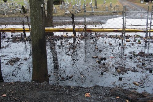
Protective boom is placed to prevent floating oil from further reaching a cemetery near the Phillips 66 Refinery in Linden, New Jersey.
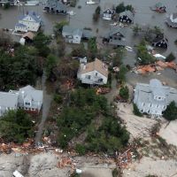
([field_image_credit])Sandy (2012) - Overflight of damage
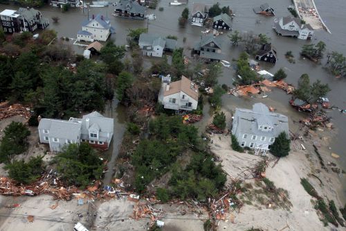
An overflight shows some of the damage that Hurricane Sandy caused when it hit the east coast at the end of October, 2012.
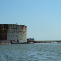
([field_image_credit])Katrina (2005) - Partially submerged oil tank
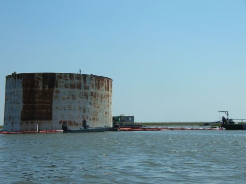
Workers attempt to contain oil from a partially submerged, leaking tank following Hurricane Katrina in 2005.
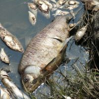
([field_image_credit])Katrina (2005) - Dead fish
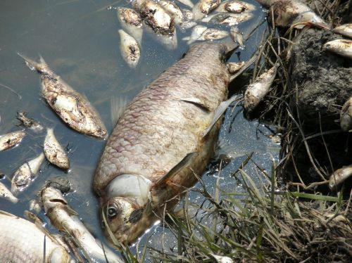
Fish were killed in the polluted waters following Hurricane Rita in the Gulf of Mexico in 2005. (NOAA)
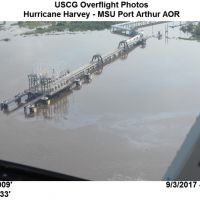
([field_image_credit])Harvey (2017 - Oil slick
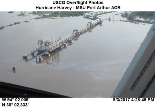
View of oil slick near Port Arthur, Texas after Hurricane Harvey in September 2017.
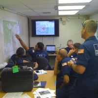
([field_image_credit])Isaac (2012) - U.S. Coast Guard uses ERMA® (Environmental Response Management Application)
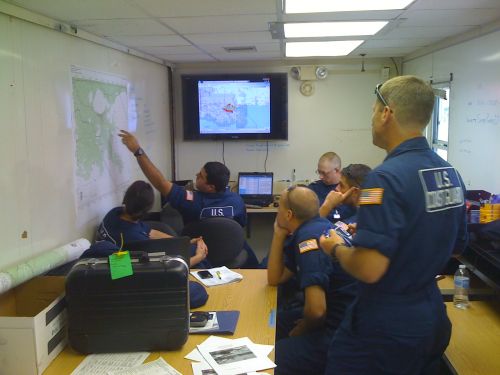
U.S. Coast Guard Recon/Hazards Branch using the NOAA online response mapping tool Gulf of Mexico ERMA® (Environmental Response Management Application) following Hurricane Isaac to plan next-day field activities. Gulf of Mexico ERMA was used as the Common Operational Picture for the response. Additionally, the USCG District 8 Command staff used ERMA to see where the Sector NOLA folks were working and how that work was progressing.
([field_image_credit])Harvey (2017 - Derelict vessel in Corpus Christie
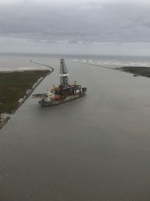
Derelict vessel removal in the vicinity of Corpus Christi, Texas in August 2017.
([field_image_credit])Harvey (2017 - First federalized vessel salvage
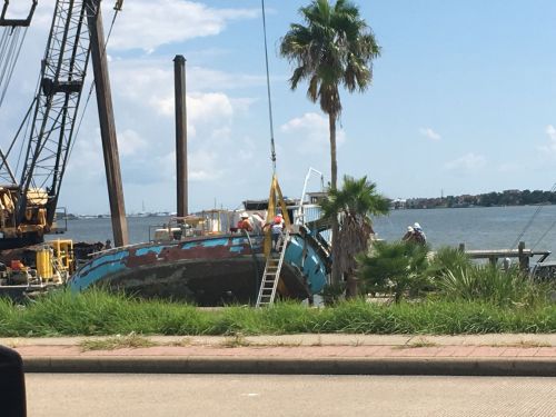
First federalized vessel salvage in the wake of Hurricane Harvey in August 2017.
([field_image_credit])Harvey (2017 - Overflight of Texas coast
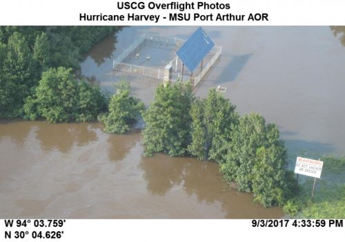
Overflight photo along the Texas coast after Hurricane Harvey in September 2017.
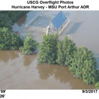
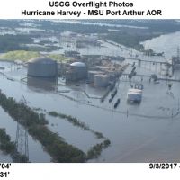
([field_image_credit])Harvey (2017 - Flooding near Port Arthur
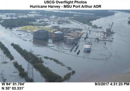
Flooding near Port Arthur, Texas after Hurricane Harvey in September 2017.
([field_image_credit])Harvey (2017 - Port Aransas
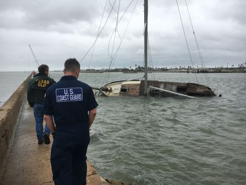
Coast Guard and partner agencies assessing damage near Port Aransas, Texas, after Hurricane Harvey in August 2017.
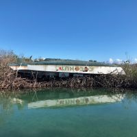
([field_image_credit])Maria (2017 - Overturned boat
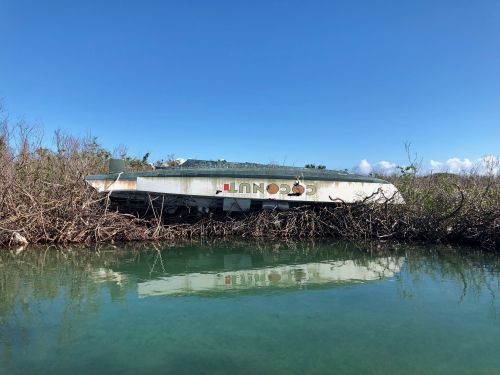
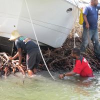
Boat turned upside-down on mangroves in the U.S. Virgin Islands after Hurricane Maria.
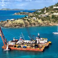
([field_image_credit])Maria (2017 - Crane and barge on St. John
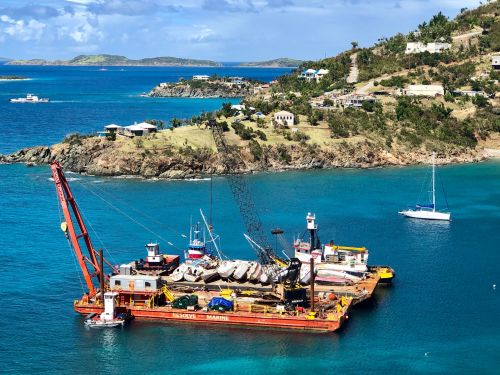
Crane barge unloading vessels to the deck barge in Coral Harbor on St John following Hurricane Maria in 2017.
([field_image_credit])Maria (2017 - Grounded vessel in Fajardo, Puerto Rico
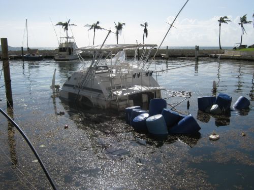
Grounded vessel in Fajardo, Puerto Rico, following Hurricane Maria in 2017.
([field_image_credit])Maria (2017 - Grounded vessel on St. Croix
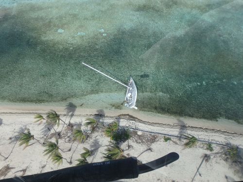
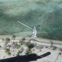
Vessel aground on a sand beach and seagrass bed in St. Croix following Hurricane Maria in 2017. The beach is a nesting area for green and hawksbill sea turtles according to the NOAA ESI atlas.
([field_image_credit])Maria (2017 - Grounded vessel in mangroves
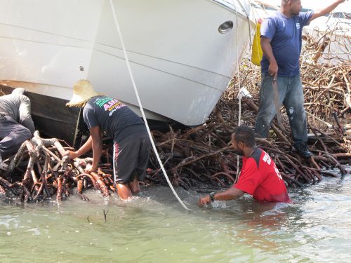
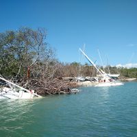
Vessel grounded on mangroves in Puerto Rico following Hurricane Maria in 2017.
([field_image_credit])Maria (2017 - Vessel removal, St. Thomas
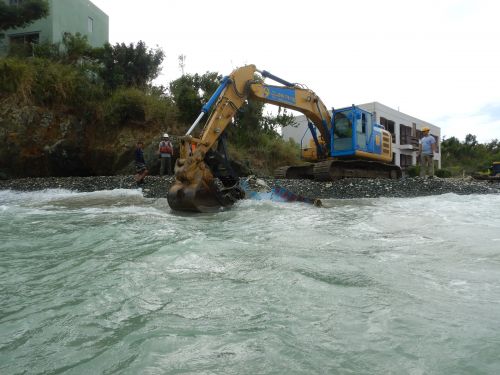
Vessel keel and engine removal on St. Thomas following Hurricane Maria.
([field_image_credit])Maria (2017 - Workers at Benner Bay on St. Thomas
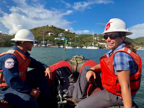
Luke Green from the Gulf Strike Team and Jen Weaver from RPI working on vessel salvage following Hurricane Maria in 2017 in Benner Bay on St. Thomas.
([field_image_credit])Irma (2017 - Destruction in Key West
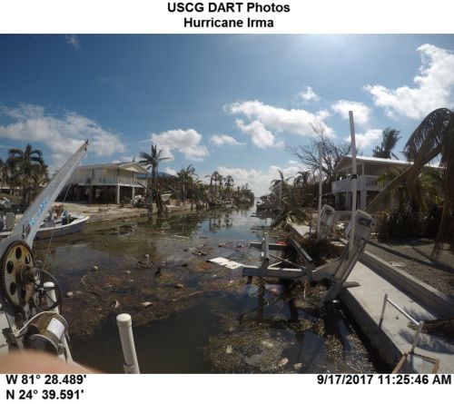
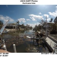
Destruction in Key West, Florida following Hurricane Irma in September 2017.
([field_image_credit])Irma (2017: Grounded vessel in the Florida Keys
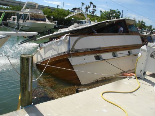
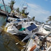
Grounded vessel in the Florida Keys in October 2017.
([field_image_credit])Irma (2017 - Vessels and marine debris in Florida
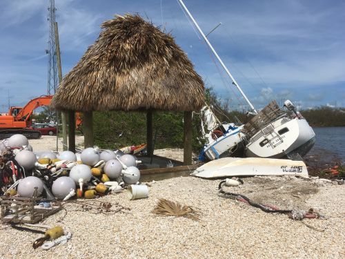
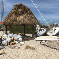
Destruction following Hurricane Irma in Florida, October 2017.
([field_image_credit])Irma (2017 - Grounded vessels in Marathon, Florida
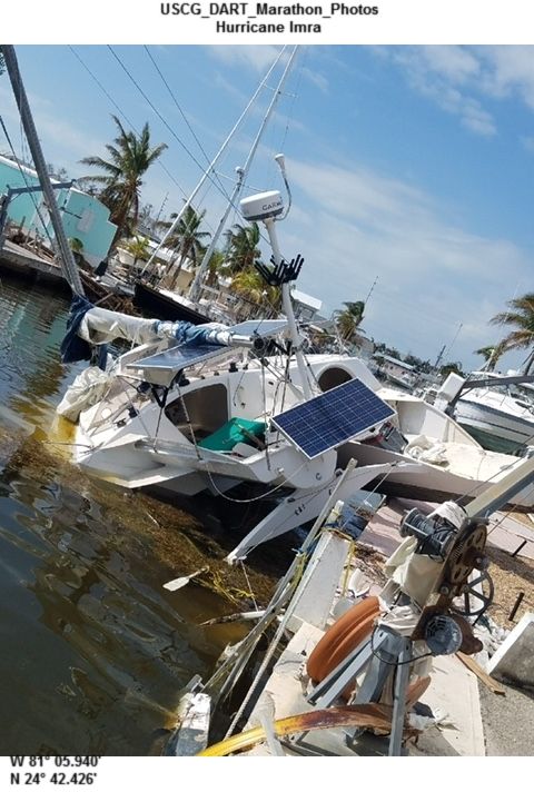
Grounded vessels in Marathon, Florida following Hurricane Irma in September 2017.
([field_image_credit])Irma (2017 - Grounded vessels near Boot Key Harbor
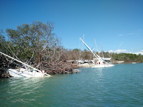
Grounded vessels near Boot Key Harbor in Marathon, Florida following Hurricane Irma.
([field_image_credit])Irma (2017) - Staging area for salvaged boats
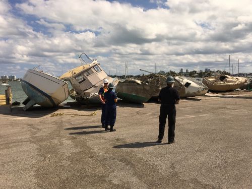
Staging area for salvaged boats on Watson Island, Miami, following Hurricane Irma.
([field_image_credit])Irma (2017 - Grounded cabin cruiser
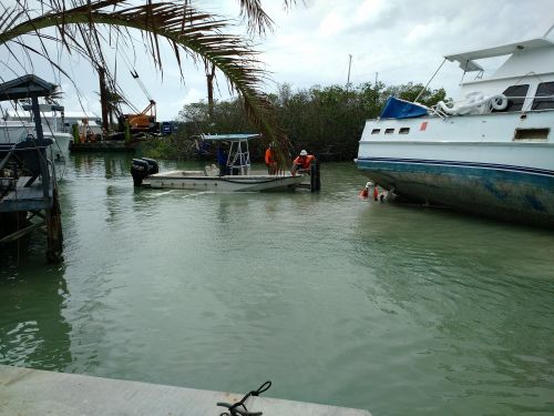
Cabin cruiser grounded on the edge of a seagrass bed in Marathon, Florida.
([field_image_credit])Ike (2008) - Devastation on the Bolivar Peninsula, Texas
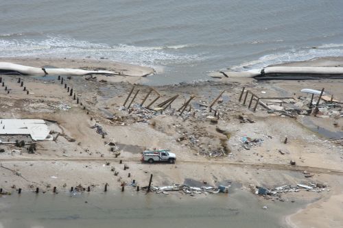
Devastated Texas beach on the Bolivar peninsula in the aftermath of Hurricane Ike in September 2008.
([field_image_credit]) An official website of the United States government.
