OR&R Scientists Map Sea Ice in the Arctic Using Remote Sensing
AUG. 1, 2022 — Scientists from OR&R have partnered with the U.S. and Canadian Coast Guards, the Coastal Response Research Center (a partnership between OR&R and the University of New Hampshire), and remote sensing consultants at Water Mapping, LLC to advance our ability to respond to and assess impacts from spills in the Arctic.
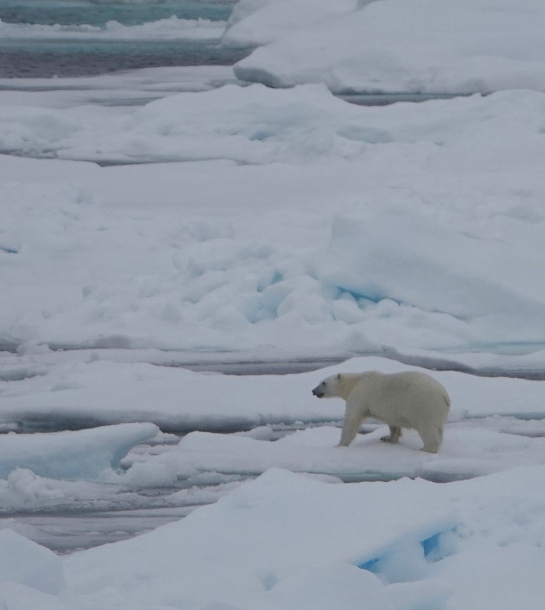
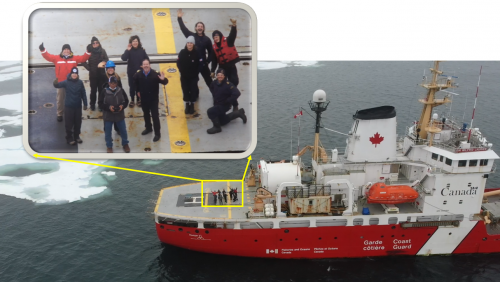
The team is on a mission with the Canadian Coast Guard ice breaking vessel Sir Wilfrid Laurier north of the Arctic Circle, departing from Barrow, Alaska. Using an uncrewed aircraft system (UAS) platform with multispectral and thermal sensors launched from the stern of the vessel, the team traveled through sea ice, collecting data used to make surface ice maps.
This work complements earlier shore-based controlled tests conducted on the North Slope of Alaska at Oliktok Point with “totes” of oil, water, and ice.
Ultimately, these projects will help us develop algorithms that relate temperature and reflectance of oil, water, ice, and other environmental features (e.g., tundra, snow, wildlife) to support rapid work flows for production of mapping products that can support response and assessments during and following oil spills in ice environments.
For more information about this project, contact Lisa.DiPinto@noaa.gov and Catherine.Berg@noaa.gov.
more images


 An official website of the United States government.


