NOAA Updates Sensitivity Maps for Lake Ontario
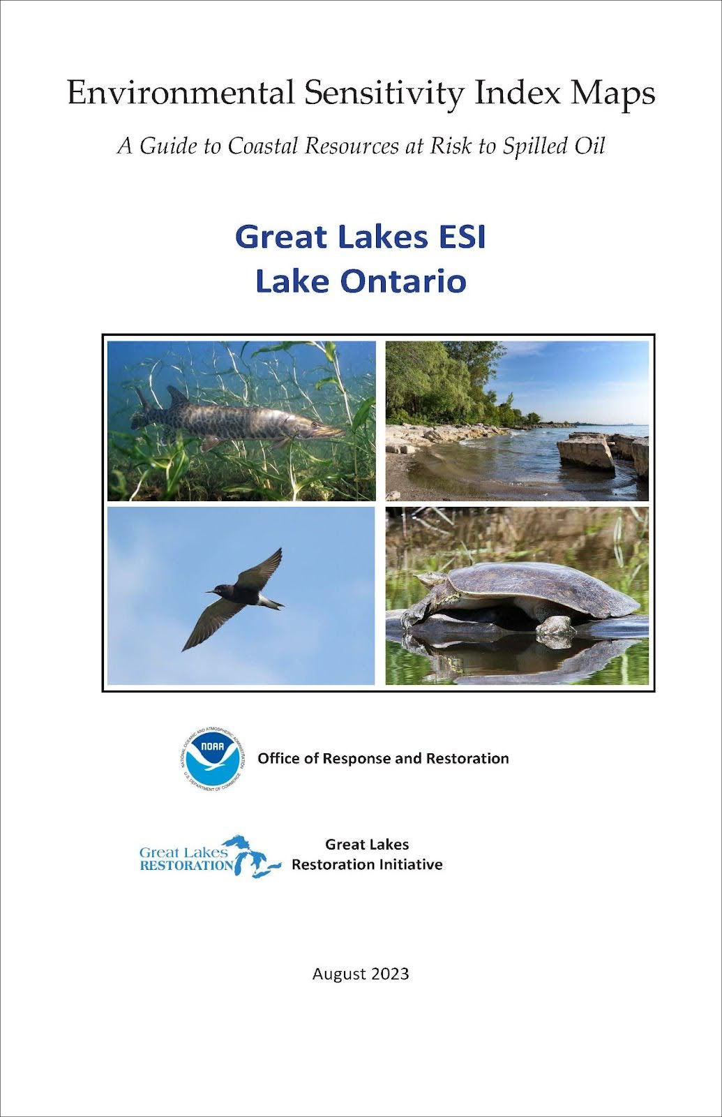
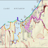
JULY 1, 2024 — For the first time since 1993, NOAA released new Environmental Sensitivity Index (ESI) maps for Lake Ontario. Joining Lake Erie and the critical navigation corridors between the various Great Lakes, this update will bring Lake Ontario’s ESI data into the digital age for the first time.
The update of Lake Ontario's ESI signifies a major accomplishment for NOAA’s Office of Response and Restoration (OR&R). Until this update, the ESI data for the region was among the oldest in the nation. The transition to a digital resource is a huge boon to the Lake Ontario spill response community, as well as for shoreline planning, restoration and conservation, and permitting and compliance efforts.
The new data is available online through the Environmental Response Management Application (ERMA®), downloadable in PDF and geodatabase formats from the OR&R website, as well as through NOAA’s GeoPlatform.
ESIs were first produced in 1979 following the Ixtoc I well blow out that spilled nearly 140 million gallons of crude oil into the Gulf of Mexico. During the response, the need for responders to be able to quickly and accurately understand the natural resources at risk during a spill event became abundantly clear. In the years that followed, NOAA began creating concise summaries of coastal resources, which were divided into three categories; biological resources, human-use resources, and sensitive shorelines. Thanks to this universal shoreline mapping system, a spill response can quickly act to protect the most sensitive and valuable resources on any coastline in America.
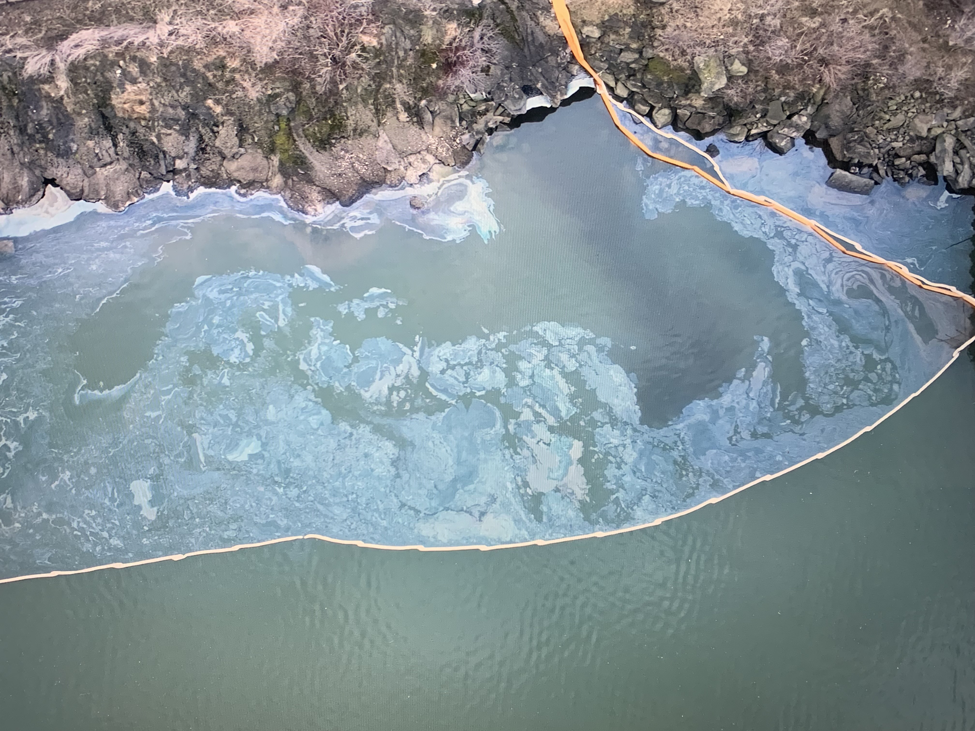
A recent spill response aided by ESI data was the Oswego Harbor Power Plant spill in 2022, when 44,500 gallons of heavy fuel oil was released into Lake Ontario. ESIs were an important component in identifying the resources at risk. This spill response relied on old ESI data from 1993, which was helpful; however, it highlighted the need for updated data. Sensitive wildlife, human-use areas, and shoreline habitats can change significantly over three decades. A crucial component of ESI maps and data is whether they are current enough to adequately protect the resources they are designed to protect.
Though ESIs are most commonly associated with emergency spill response activities—their original purpose—their use has expanded to many different activities within NOAA and beyond. For instance, NOAA’s Office of National Marine Sanctuaries works with ESIs and ERMA to manage and protect historical and cultural resources of the Lake Ontario National Marine Sanctuary (NMS), designated June 5, 2024, in addition to the Thunder Bay NMS and Wisconsin Shipwreck Coast NMS. The proposed Lake Erie Quadrangle NMS will also use ESI data to help support the environmental impact analysis process. While many in the response community are familiar with the application of ESIs for identifying natural resources, these other uses highlight their utility for protecting culturally significant places, resources, and artifacts integral to American history and the heritage of Indigenous Peoples and the designations of marine sanctuaries.
Future updates to the ESI data in the Great Lakes region include the remainder of Lake Michigan in 2025, and Lakes Superior and Huron in 2026. Once completed, the Great Lakes region will have the newest ESI data in the nation.
more images


 An official website of the United States government.


