ESI Program Awards Contract for Updates to Lake Ontario Maps and Data
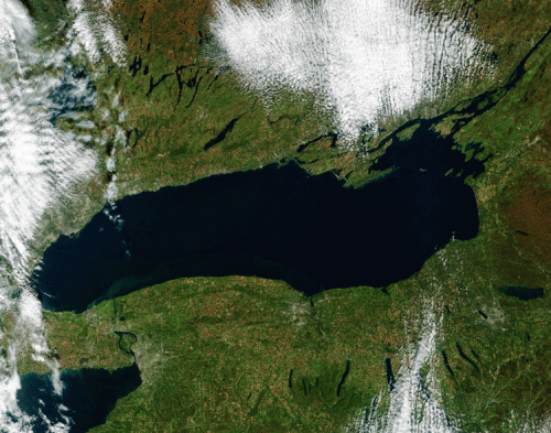
SEPT. 12, 2022 — NOAA has awarded a contract to refresh the Environmental Sensitivity Index maps and data for Lake Ontario. The work has already begun, and will be completed by the end of September 2023.
Funding for this contract was provided by the Great Lakes Restoration Initiative. The initiative has supported previous updates to ESIs in the Great Lakes, including the Straits of Mackinac and the St. Clair/Detroit River system. This critical partnership has allowed NOAA to update ESI products that support emergency responders, planners, and others who rely on accurate information about sensitive resources in the Great Lakes region.
When the new ESI maps and data are completed for Lake Ontario next year, it will mark 30 years since the last time ESI maps were produced for the lake (1993). The updated data will reflect the many changes that have occurred in Lake Ontario since that time, including restored habitat, changing species status, and new human infrastructure.
The existing 1993 ESI maps for Lake Ontario represent some of the oldest ESI data still in use, and were not produced digitally, meaning they are difficult to integrate into the modern ERMA® (Environmental Response Management Application) platform that is often used to view ESI and other data online.
Updated ESI maps and data were produced for the St. Lawrence River in 2021, covering the mouth of the river at the easternmost end of Lake Ontario. This new contract will complete an update of the lakes and waterways in the eastern end of the Great Lakes, as the Lake Erie dataset and maps will wrap up by the end of September (2022).
The Great Lakes Restoration Initiative is also supporting an upcoming update to the Lake Michigan ESI datasets. OR&R hopes to advertise a contract for the update of all of Lake Michigan’s ESI data and maps before the end of this fiscal year.
 An official website of the United States government.

