Unmanned Systems Technology in Emergency Response and Damage Assessment
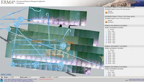
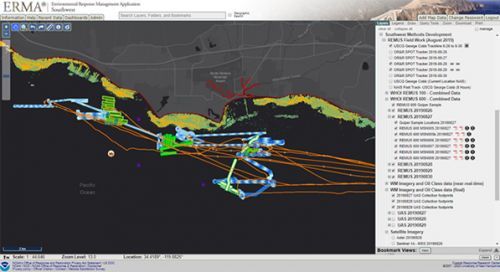
APRIL 20, 2020 — OR&R presented The Ups and Downs of UxS Technology in Emergency Response and Damage Assessment in the Marine Environment: NOAA OR&R Case Studies and Standards Development, to the EPA Emergency Management Information Technology spring meeting on UxS (Unmanned Aerial Systems) deployment.
Due to the current health emergency this technical meeting planned for EPA in North Carolina, was held via Skype Webinar on April 15. The EPA Environmental Response Team has recently been given authority to use these systems through their START contractors and they are exploring how they have been deployed by partner agencies. George Graettinger, the OR&R Remote Sensing/Unmanned Systems (UxS) lead was invited to present case studies on recent UxS methods development projects and incident responses where we have used UxS and UMS (Unmanned Marine Systems). Additionally OR&R presented the developing UxS Specifications document that OR&R has been developing over the past 12 months. NOAA and EPA have agreed to continue the conversation about best practices and will be exploring additional opportunities for collaboration.
For additional information please contact George.Graettinger@noaa.gov.
 An official website of the United States government.


