New Paper on Classifying Oil Thickness Using Remote Sensing Showcases Advances in Oil Spill Science
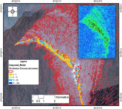
NOVEMBER 18, 2019 — OR&R Scientists George Graettinger and Lisa DiPinto recently published a paper titled “Classification of oil spill by thicknesses using multiple remote sensors” in the journal Remote Sensing of the Environment.
Researchers from NOAA, other federal agencies, academia, and the private sector collaborated to advance the ability of spill scientists to more rapidly and accurately characterize floating oil.
It is not always practical, safe, or affordable to conduct extensive in situ measurements in the aftermath of a spill, so environmental assessments rely heavily on remote sensing data analysis. In the past, delivering up-to-date strategic information from satellite remote sensing has been a challenge for responders in the field. This study presents methods for rapidly classifying oil types and thickness, which can pinpoint “actionable” oil emulsions for response operations.
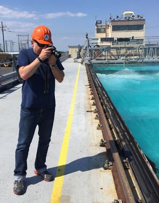
The results in this paper are from experiments conducted at the OHMSETT test facility in New Jersey and during a series of field campaigns in the Gulf of Mexico comparing multiple satellite data acquisitions with near-simultaneous in-situ measurements of oil slick thickness.
These proof-of-concept tests, using satellite SAR and multispectral imagery to detect emulsions and deliver information to response vessels in real-time demonstrate the author’s ability to use satellite-based assets for future oil spill responses.
The article is available for free online.
For more information please contact Lisa.Dipinto@noaa.gov and George.Grattinger@noaa.gov.
 An official website of the United States government.


