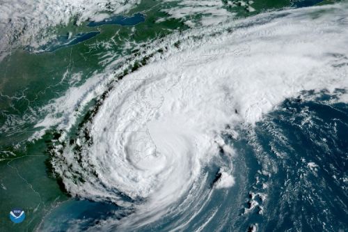
NOAA's Map of the Month: Data Tools for Marine Pollution
Throughout the last year, NOAA's Office of Response and Restoration has featured a "Map of the Month"—each map highlighting the spatial data tools that OR&R experts use to prepare for, respond to, and restore the environment after marine pollution. In our latest story map, see a roundup of the past year's maps showing where we work and what we do.
Click Here to Explore NOAA’s Map of the Month: Data Tools for Marine Pollution Story Map!
Learn more about the tools we highlight:
- The Environmental Response Management Application (ERMA®) is an online mapping tool that integrates both static and real-time data, such as ship locations, weather, and ocean currents, in a centralized, easy-to-use format for responders and decision makers.
- Data Integration Visualization Exploration and Reporting (DIVER) is a massive data warehouse that allows users to search and download a broad array of environmental data.
Last updated
Wednesday, February 28, 2024 7:47am PST
 An official website of the United States government.

