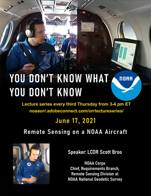
Next “You Don't Know What You Don't Know” Lecture: Aerial Imagery aboard NOAA Aircrafts
JUNE 1, 2021 — When disaster hits response teams are activated and begin working on a ground level. The teams use photos to prepare for the next day's activities. Having an aerial perspective helps identify areas hardest hit, locations of possible danger, and even to identify civilians stranded that need help.
There are many ways to get these images with helicopters taking individuals up with cameras and responders using unmanned systems to fly over areas controlling them from the ground. When most hear NOAA Aircraft they think of the Hurricane Hunters that do the pre-land fall storm science. However NOAA has a number of smaller fixed wing aircrafts with ability to capture topographic bathymetric, lidar — light detection and ranging — data, high-resolution nearshore lidar systems to map the coastline post disaster.
Please join us on June 17 at 3 pm EST to hear LCDR Scott Broo with National Geodetic Survey as he dives into aerial imagery aboard the NOAA Aircrafts and the important work they do post storm to help get the response and restoration work started.
https://noaaorr.adobeconnect.com/orrlectureseries/
Next episode: Thursday June 17 at 3 pm EST
For further information, contact Hayley.Betker@noaa.gov.
 An official website of the United States government.

