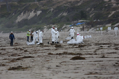
New Story Map, Refugio Beach Oil Spill: Mapping NOAA’s Work from Response to Restoration
NOVEMBER 8, 2021 ─ Our new interactive Story Map puts real data from the Refugio Beach oil spill at your fingertips.
On May 19, 2015 a pipeline ruptured near Refugio State Beach near Santa Barbara, California. Over 100,000 gallons of crude oil were spilled, much of which ran down a storm drain and into the ocean.
NOAA used our Environmental Response Management Application (ERMA) mapping application to inform decisions from response to restoration. ERMA maps are featured on our new Story Map to show where the oil went, where birds were recovered, and how NOAA and partners helped secure over $20 million for restoration.
Explore the Story Map, Refugio Beach Oil Spill: Mapping NOAA's Work from Response to Restoration.
 An official website of the United States government.

