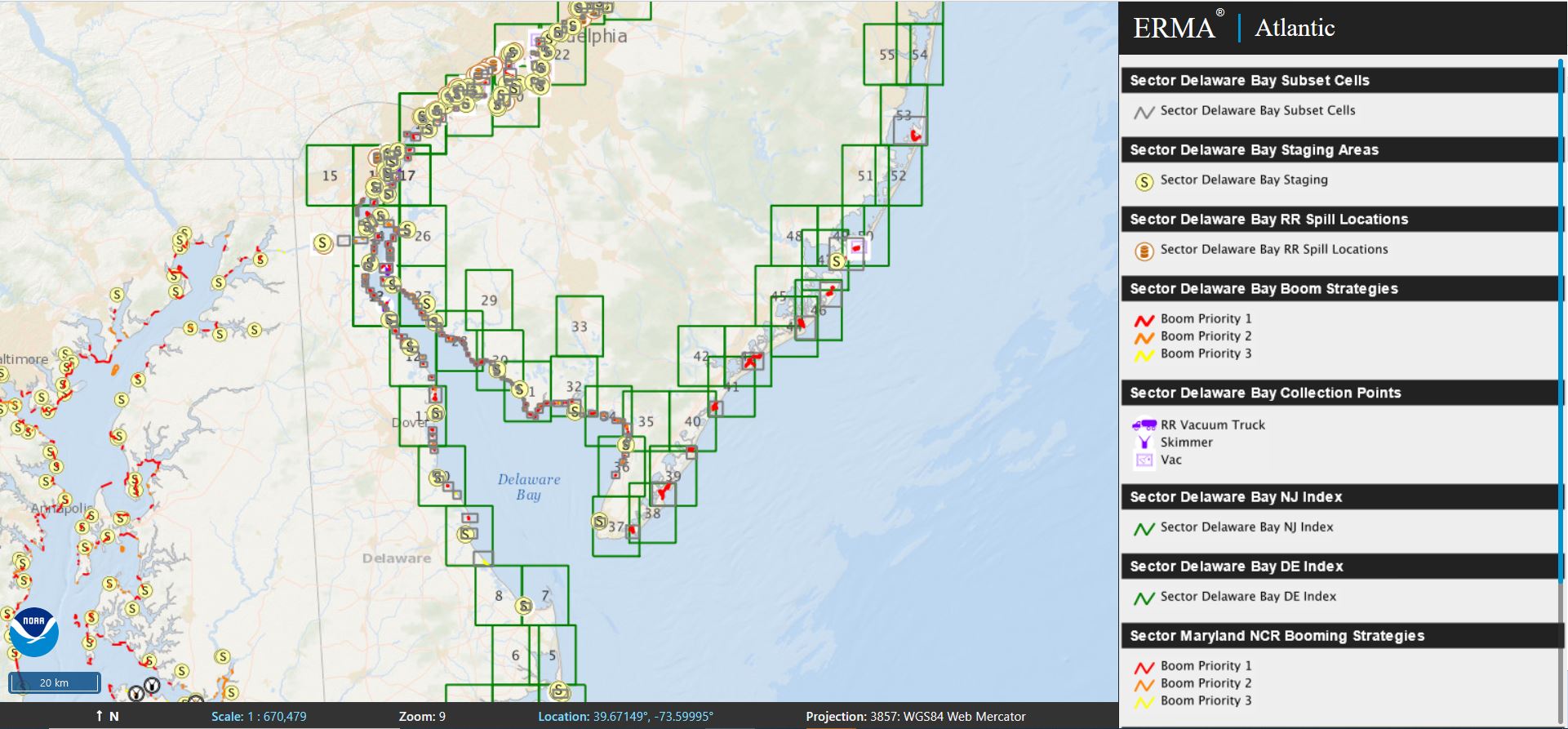
Atlantic ERMA
Visit Atlantic ERMA to visualize data and explore the region.
ERMA in the Atlantic
The Atlantic coastal environment faces many threats, including pollution from hazardous waste sites, accidents involving crude oil trains, and oil spills associated with marine transportation. The online mapping tool Atlantic ERMA is a key part of equipping resource managers and responders with the geographic information they need for an effective industrial waste site case, emergency response, or for future restoration activities.
ERMA and Emergency Response
- ERMA brings together information like tidal and brackish wetland locations, ports and industrial areas, and important fisheries like lobster, Atlantic cod, and blue crab data into one online tool. This allows experts to access data quickly and efficiently in the event of disasters like oil spills.
- ERMA integrates real-time data (like weather and tide data) with static data (like port locations) into a single interactive map. This allows experts to visualize evolving situations on-the-ground to protect human life, property, and the environment.
ERMA and Environmental Restoration
- Atlantic ERMA provides environmental quality and monitoring data for coastal areas affected by industrial pollution, such as the Anacostia River, Hudson River, and the Lower Passaic. Our scientists use this information as part of the Natural Resource Damage Assessment (NRDA) process to evaluate injuries to the environment caused by pollution, as well as to plan habitat restoration.
- NOAA uses Atlantic ERMA to assess natural resources at risk from pollution, plan for and track injury assessment, and determine appropriate restoration in the event of an oil or chemical spill.
more images

 An official website of the United States government.


