New ESI Data Available for Lake Erie and Eastern Florida
FEB. 6, 2023 — The Environmental Sensitivity Index (ESI) Program recently released new digital data for both Lake Erie and the Atlantic shoreline of East Florida.
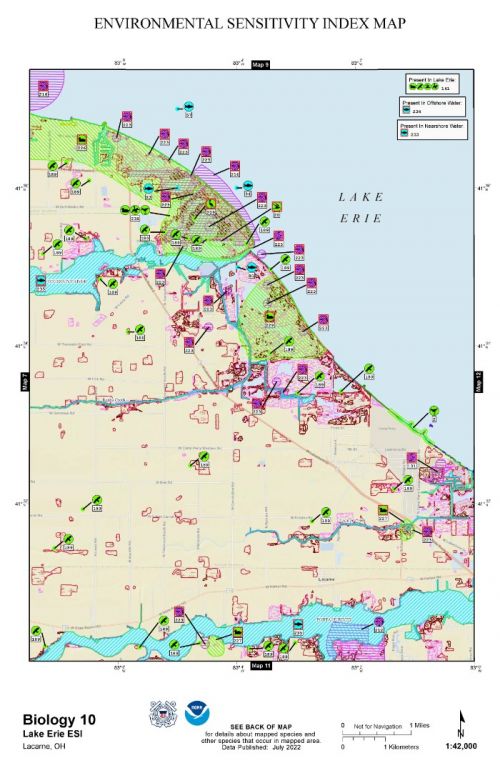
The dataset and maps for Lake Erie were completed in 2022 and represent the first update to the lake’s ESI data since the original paper maps were created in 1985. The new digital dataset is available for download in multiple formats through the OR&R website, and is available for online mapping use through the Environmental Response Management Application (ERMA®).
This refresh to the Lake Erie maps and data provides emergency responders, coastal planners, coastal communities, and other federal, state, local, and tribal governments of the Lake Erie region with up-to-date information about the sensitive natural resources and human uses that are present around the lake. The U.S. Coast Guard provided the funding for this work. As first responders, the Coast Guard relies on ESI maps and needs accurate, updated information for their resource protection and cleanup activities.
Additionally, new ESI data for East Florida’s Atlantic coast is now available for download on the OR&R website as well as in ERMA. The East Florida data update was completed in 2020 and was funded and managed by the State of Florida. The data collection and storage follow the NOAA ESI Guidelines for data integrity and compatibility. For more information, see the Florida Fish and Wildlife Conservation Commission ESI page.
The 2022 landfall of Hurricane Nicole on the Atlantic coast of Florida reinforced how important it is to have updated information about the resources present in an area so that emergency responders and planners can be ready to address storm-driven impacts.
 An official website of the United States government.

